
The data behind every storm.
A searchable catalog of 4,300+ severe weather events, with radar, satellite, upper-air maps, and soundings lined up in time, plus footage and photos from chasers in the field.

Inside the app
Every observation from the day, in one place
Representative and observed soundings and upper-air maps, plus detailed radar and satellite on priority events, alongside footage and photos from chasers in the field. Trace how the setup came together and how the storms evolved.
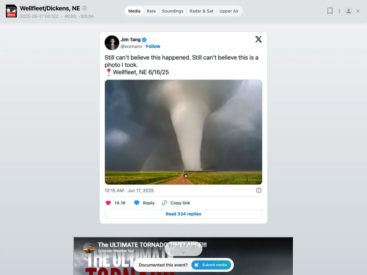
Chase footage
Video and photos from chasers in the field, linked to each event.
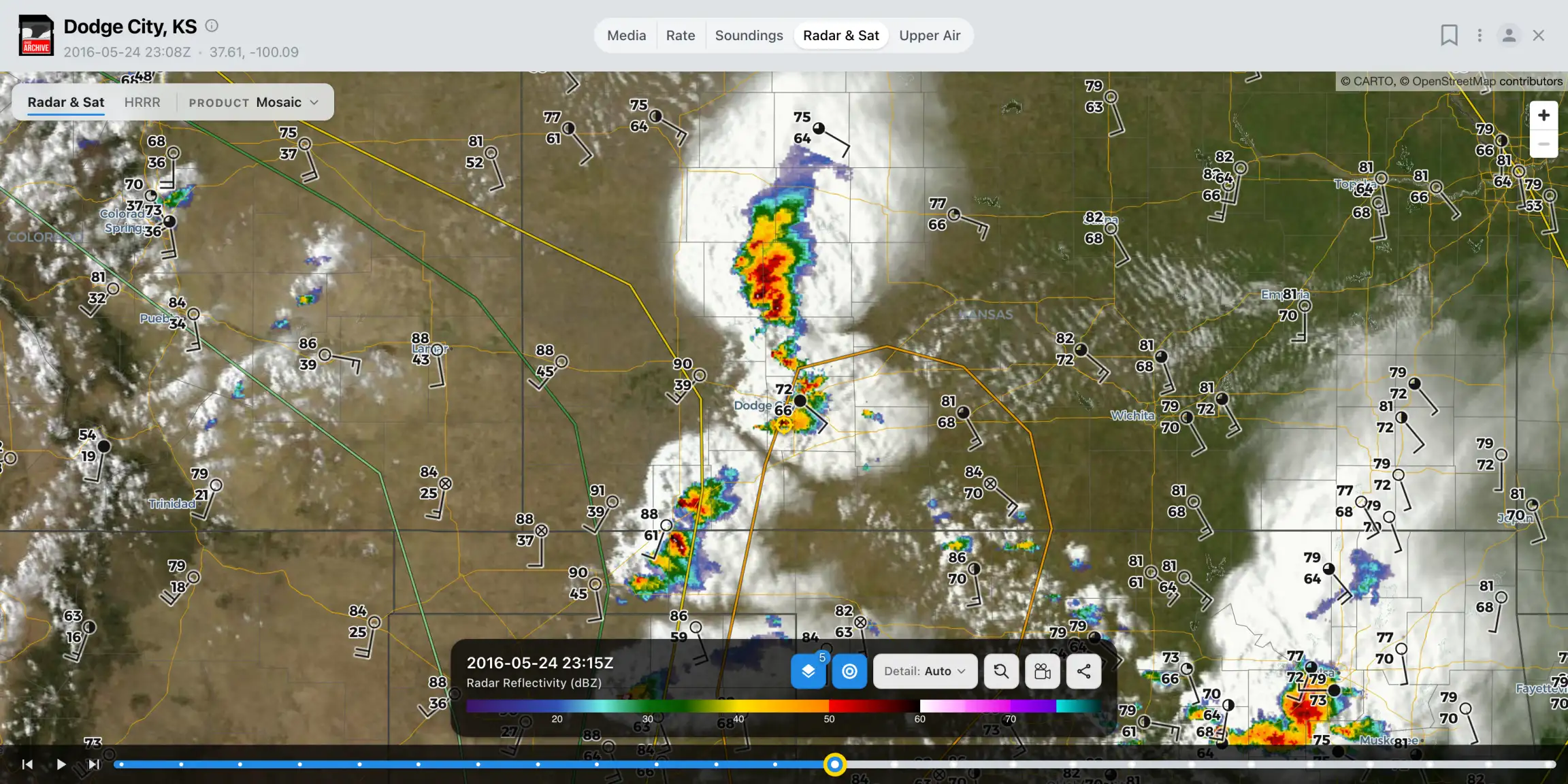
Radar and satellite
Detailed NEXRAD sweeps and GOES imagery looping through priority events.
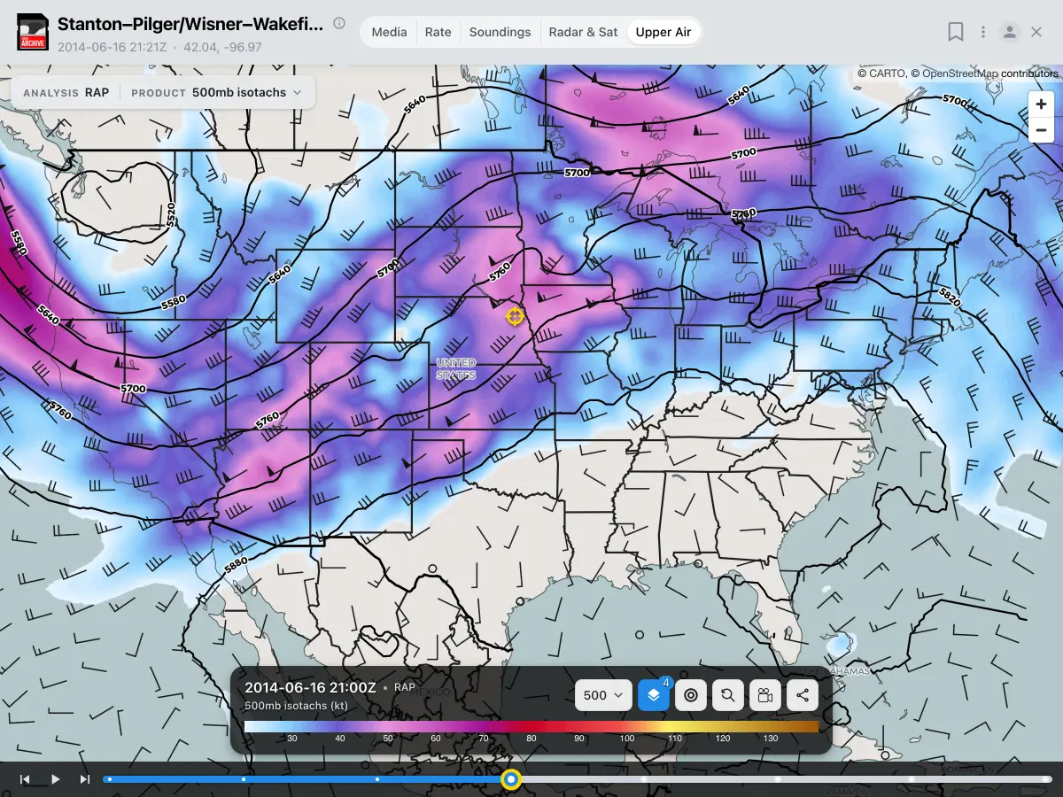
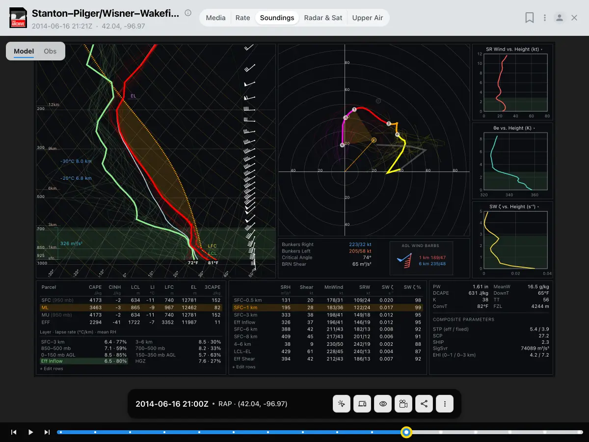
Soundings and upper air
Representative and observed soundings, plus 500 mb, surface, and moisture maps for the day.
Search by environment
Find cases by CAPE, shear, and helicity, not just by place and date.
Got footage from a chase?
Submit a case and we’ll line it up with the radar, satellite, and soundings.
Submit a case →Talk storms with other chasers
Case requests, setups, and post-chase analysis in the Chase Archive Discord.
Join the Discord →